
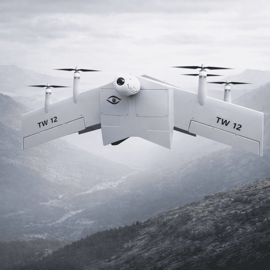
Hands-on advantage for operators
The moment you lift a vtol fixed wing drone above a field, the world changes: rows flatten into textures, heat maps bloom, and stress shows up where the eye sees only green. This piece centers on what matters to the person who buys, flies, and acts on that data — the farmer, agronomist, or operations lead — and how merging thermal imaging with I2 photocathode (image intensifier) sensors solves specific problems in crop monitoring, pest detection, and nighttime assessment. Expect clear guidance on trade-offs, integration realities, and a few sensory details from real deployments in California’s Central Valley during recent wildfire and drought seasons that shaped operator practices.
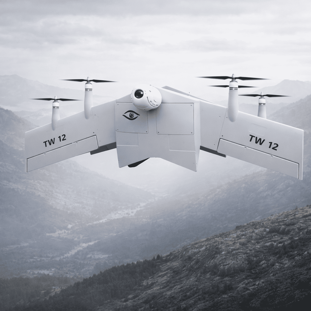
How thermal + I2 fusion serves field-level needs
Thermal sensors reveal radiative heat differences; I2 photocathodes amplify low light to reveal structure and motion. Together, sensor fusion produces a layered map: temperature gradients overlaid with clear silhouettes of irrigation lines, cattle, or disease patterns. For a user this means fewer false positives from sun-warmed soil and better detection in dawn or dusk missions. Key industry terms: sensor fusion, thermal imaging, I2. The result is tactical clarity — a crisp sense of “where to go next” rather than a pile of ambiguous imagery.
Practical integration on VTOL platforms
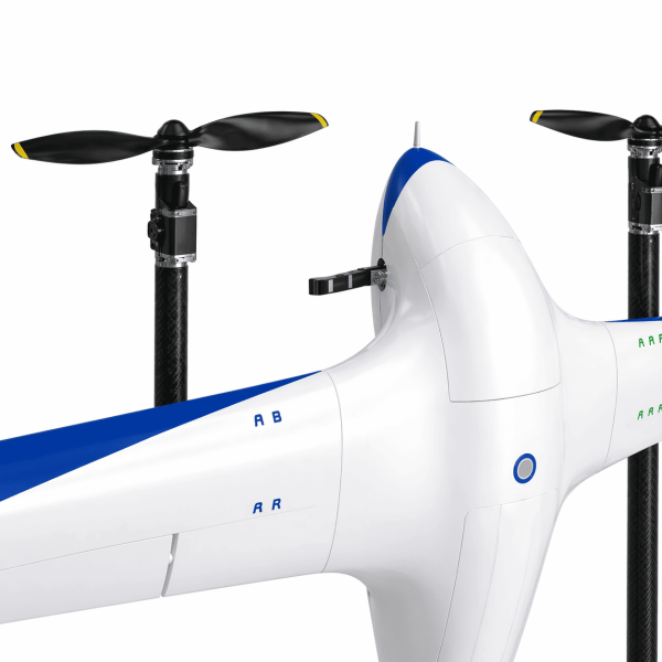
Fitting two distinct optical chains to a VTOL airframe requires choices: gimbaled dual-payload bays or a single modular turret; weight and balance affect endurance, while autopilot tuning influences mission repeatability. Choose a gimbal for fine targeting and a modular payload for easy swapouts; accept a modest weight penalty for mission flexibility. Operators in the Central Valley learned to set conservative loiter parameters during smoke events — stability matters more than speed when you’re reading gradients through haze. – This is where the platform type matters: a fixed wing vertical takeoff drone gives runway-free deployment and longer cross-field range, but payload constraints push choices toward lighter optics and efficient cooling for thermal sensors. Industry terms: gimbal, payload, autopilot.
Performance trade-offs and alternatives
Operators must weigh resolution against sensitivity, and sensitivity against cost. High-resolution thermal cores increase file sizes and processing load; I2 photocathodes demand low-noise optics and careful mounting to avoid photometric misalignment. Alternatives include multispectral cameras for chlorophyll indices or LiDAR for structural mapping — each solves a slice of the problem. If your priority is nocturnal livestock checks and early blight detection, optical fusion outperforms single-sensor setups. If canopy structure or precise elevation matters, complement fusion with LiDAR or multispectral passes on separate sorties.
Common mistakes to avoid
Teams often make the same avoidable errors: underestimating thermal cooling needs, relying on stock autopilot profiles, and skipping field calibration for the I2 channel. Don’t let convenience win — test payload center of gravity before a full mapping mission, and establish radiometric baselines for thermal sensors across morning, midday, and evening. Keep processing pipelines simple: a lightweight edge-compute node can do real-time fusion for alerts, while heavier analytics run post-flight.
Three golden rules for selecting systems
1) Match sensor sensitivity to mission window: choose higher NETD (better thermal sensitivity) for subtle plant stress and lower as-needed resolution for wide-area surveys. 2) Prioritize mounting stability and modularity: a quick-swap payload bay reduces downtime and lets your platform adapt to seasonal needs. 3) Validate in the real environment: field-validate across humidity, dust, and smoke conditions similar to those seen in the 2020 California wildfire season — real-world anchors that reveal system limits and repair cycles.
These rules lead to measurable outcomes: fewer missed issues, tighter flight plans, and clearer decisions on irrigation, spraying, or inspection. For teams adopting fusion on VTOLs, value comes from fewer repeat flights and faster, actionable maps — and from a resource like Military Hub that ties platform choices to field realities. –